


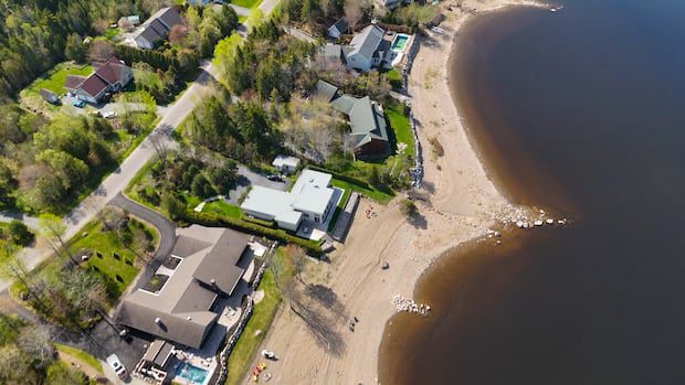
A new interactive map by the Human Development Council highlights socioeconomic factors and income inequality between different neighbourhoods in the province.
Human Development Council launches map to inform service distribution

Hope Edmond · CBC News
· Posted: Jul 19, 2026 5:00 AM EDT | Last Updated: 2 hours ago

Listen to this article
Estimated 3 minutes
The audio version of this article is generated by AI-based technology. Mispronunciations can occur. We are working with our partners to continually review and improve the results.
 The map shows consistent differences between suburbs, cities, and urban cores. (Roger Cosman/CBC)
A new online map is making data about average household income, employment status and education in different New Brunswick neighbourhoods more accessible.
The map was launched earlier this month by the Human Development Council, a group based in Saint John that aims to identify and address social issues in the province through research.
“This kind of data is useful for a whole bunch of projects and work that goes on in a province,” said Liam Fisher, the group’s data analyst and research coordinator.
 A map developed by the Human Development Council visualizes different socio-economic indicators in New Brunswick neighbourhoods. (Human Development Council)
“Every regional service commission has a community developer, cities have social inclusion teams, all kinds of initiatives are targeted and place-based.”
Colin Ingraham,
This story was brought to Nouzie by RSS. The original post can be found on https://www.cbc.ca/news/canada/new-brunswick/interactive-map-poverty-by-neighbourhood-9.7274378?cmp=rss

